How to Prepare for Gita
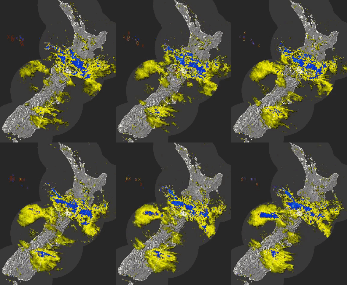
The guts of Cyclone Gita still have not hit us. Although we have already experienced most of the rain, sharp winds & some more rain is still to come.
The latest MetService report states that we should expect the worst winds of the storm to be from 7 PM Tuesday to early Wednesday morning. You still have time to prepare, here’s what you should do.
Make a Plan
Make a plan with your family/flatmates/friends to get through an emergency. Think about the things you need every day and work out what you would do if you didn’t have them. Civil Defence have a great online tool to make this easy. Make your plan.
Preparing for the Wind
The wind tonight will get up to 130km/h in some exposed areas. Here are some ways to prepare:
- Flip over any tramps
- Make sure any outdoor furniture is secure
- Close windows
- Bring pets inside
- If the wind becomes destructive, stay away from windows.
- Stay informed and listen to local news sources
Emergency survival items
Storms like this are a good time to get thinking about how prepared you actually are. Civil defence has a checklist designed for the average family, to help people prepare by creating getaway kits & emergency survival items. Download Civil defence Guide
Latest Weather Info
 Cyclone Gita is currently undergoing extra-tropical transition, and has been re-classified as ‘Former Tropical Cyclone Gita’. Although Gita is no longer a tropical cyclone, it’s still expected to significantly impact much of central New Zealand over the next 24 hours.Heavy rain is already occurring from Taranaki southwards to the Sounds, and is expected to spread over Buller, Nelson and the remainder of Marlborough over the next few hours.Strong winds are expected to develop early this afternoon into this evening for the entire country, with the potential for damaging wind gusts from Taranaki and Taihape south to Westland and Banks Peninsula, including Wellington.Weather info: http://www.metservice.com/